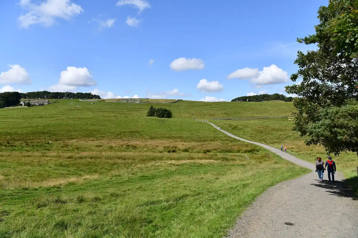
Hadrian's Wall Path: 84 miles and 135 kilometres
Hadrian's Wall Path is an 84-mile, 135-kilometre National Trail between Wallsend, in the Newcastle area, and Bowness-on-Solway. The walking route passes through Newcastle and Carlisle and follows the Roman frontier corridor. Its distance describes the modern trail, rather than the length of the ancient wall. Walking the route is a different activity from buying admission to a Roman fort.
The trail can be approached as a long-distance walk or as a series of separate outings. Decide whether the priority is covering ground, exploring ruins or spending time in the central landscape. A day that includes a museum needs a different schedule from a day devoted to walking. The Roman fort ticket guide explains the separate paid visits.
Endpoints and planning overnight stages
Wallsend and Bowness-on-Solway are the endpoints to use when planning a complete Hadrian's Wall Path journey. Work backwards from available accommodation and transport rather than dividing the total distance into equal days. The central section between Chollerford and Birdoswald has repeated climbs and descents, uneven ground and steps; daily mileage alone is a poor measure of effort.
A specialist trail guide suggests six to seven days for experienced walkers, with additional time for sightseeing. Treat that as a planning indication, rather than a target for every walker. Choose overnight stops that suit fitness, baggage and the length of the walking day. The accommodation guide distinguishes places to stay from transport bases, while getting there covers the rail and bus connections.
A short guided walk
This two-hour walk includes fort entry and walking poles.
Hand-picked tours, booked through Viator. Prices are indicative starting prices in euros (as of November 2026). Tap a tour for live availability and the current price in your currency.

Short guided walks and Wall visits
A two-hour guided Wall walk includes fort admission and walking poles; choose it for a short outing alongside independent trail planning.
Short sections or the long-distance trail
Hadrian's Wall Path can provide the walking part of a visit without committing to the complete route. Select a section with a practical return journey and leave space for breaks, changes in conditions and admission to any fort on the day's plan. A walk near Sycamore Gap and Steel Rigg should be planned around local signs and the protection of the landscape.
The two-hour guided Wall walk is a separate short experience with fort entry, walking poles, bingo cards and pens included. Its duration is the outing's duration, not a stage allowance for the entire National Trail. It suits visitors who want a guided introduction during a wider stay. For a different archaeological focus, allow dedicated time for Vindolanda and its museum.

Equipment and protecting the grassy ground
Hadrian's Wall Path needs suitable footwear, waterproof clothing, water, food and an offline map. Carry emergency equipment and plan around available daylight; a phone signal may be absent. Follow signed local diversions and consider water levels on coastal or tidal sections. Keep a shorter alternative in mind when deciding what can reasonably fit into the day.
May to October is recommended for walking to help protect the mainly grassy surface. This is a ground-care recommendation, rather than a statutory winter closure. Stay on marked paths, use gates and stiles and never walk or climb on the wall. Give grazing animals room, avoid feeding them, take litter away and leave gates as found. The seasonal planning guide deals with weather and winter visits separately.
Route 72 is a different cycling alternative
Hadrian's Cycleway, Route 72, follows a different route from Hadrian's Wall Path and combines road and traffic-free sections. A cycling itinerary therefore needs its own route planning. Public footpaths do not carry a general right to cycle; use the appropriate cycling route and read local access signs. Arrange the arrival and return journey using the transport guide.
Hadrian's Wall Path questions
How long is Hadrian's Wall Path?
84 miles, or 135 kilometres, is the length of Hadrian's Wall Path between Wallsend and Bowness-on-Solway. This is the National Trail distance, rather than a measurement of surviving Roman masonry. Plan extra time for visits to forts and museums, and choose daily sections around terrain and overnight stops.
How many days should experienced walkers allow?
Six to seven days is a specialist guide's indication for experienced walkers on Hadrian's Wall Path, with extra time for sightseeing. Daily progress depends on fitness, ground conditions and the chosen stages. The climbs, steps and uneven surfaces in the central section deserve more attention than an equal-mileage daily schedule.
Can I walk along the top of the wall?
No. Hadrian's Wall should be viewed from the marked paths, without walking or climbing on its masonry. Use gates and stiles to cross boundaries and follow local diversion signs. Staying on the walking route protects the archaeology and the grassy ground, including when the path becomes muddy underfoot.